Urubici
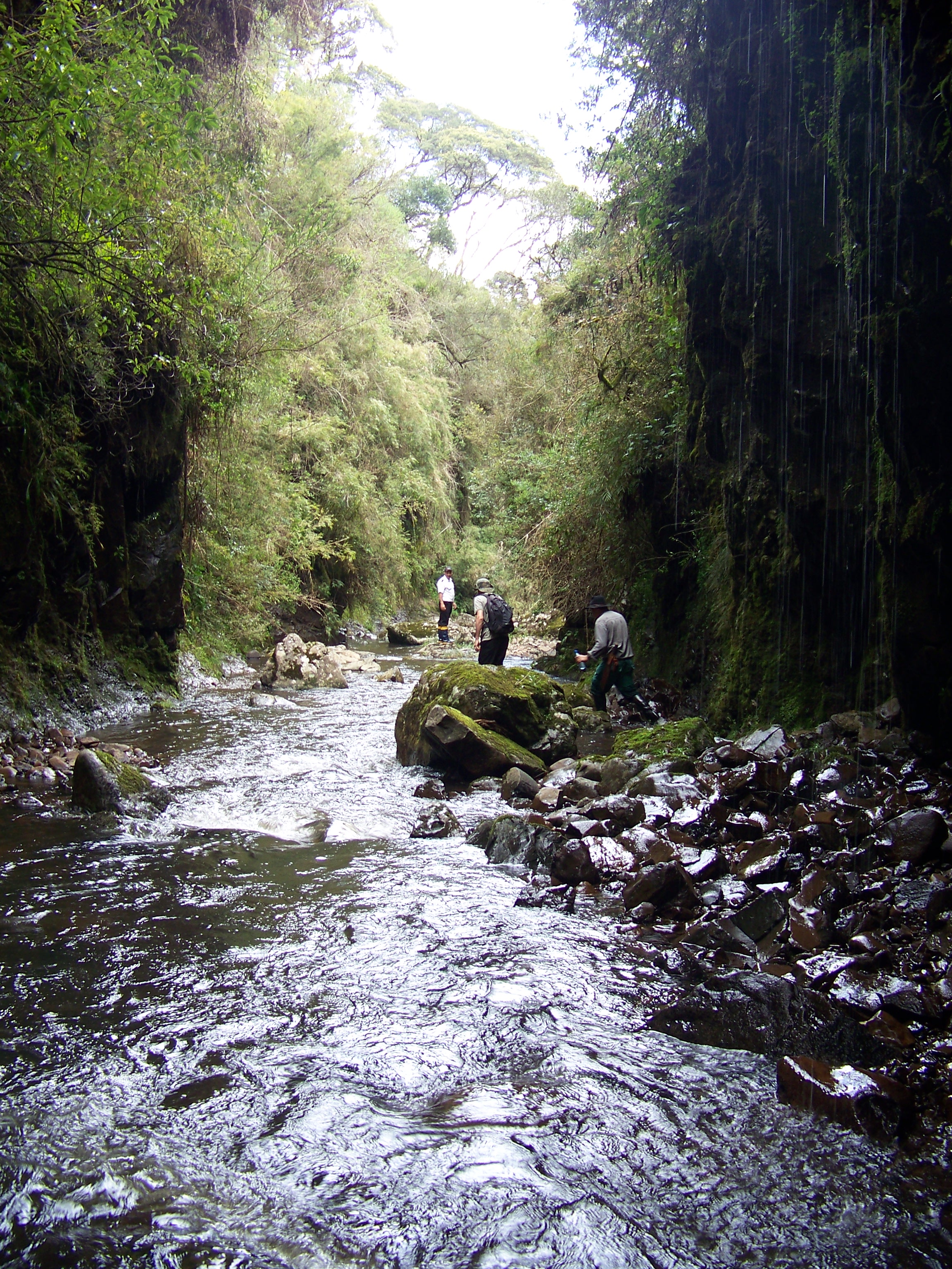
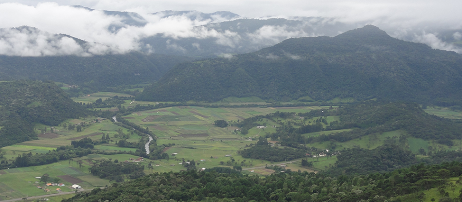
The Urubici region, located on the highland plateau, is a landscape dominate by the Highlands Grasslands (or Campos) and the Araucaria Forest. The climate is humid throughout the year with warm temperatures during the summer (max. 30°C) and cold in the winter (min. -7°C) with occasional snowfall. The headwaters of the streams irrigating this region begin in wetland areas with shallow and rocky soils at around 1800 masl and descend rapidly through incised valleys forested by Araucaria, eventually flowing into the Canoas River, which meanders through the middle of an unusually wide and flat valley with fertile soils at around 1000 masl.
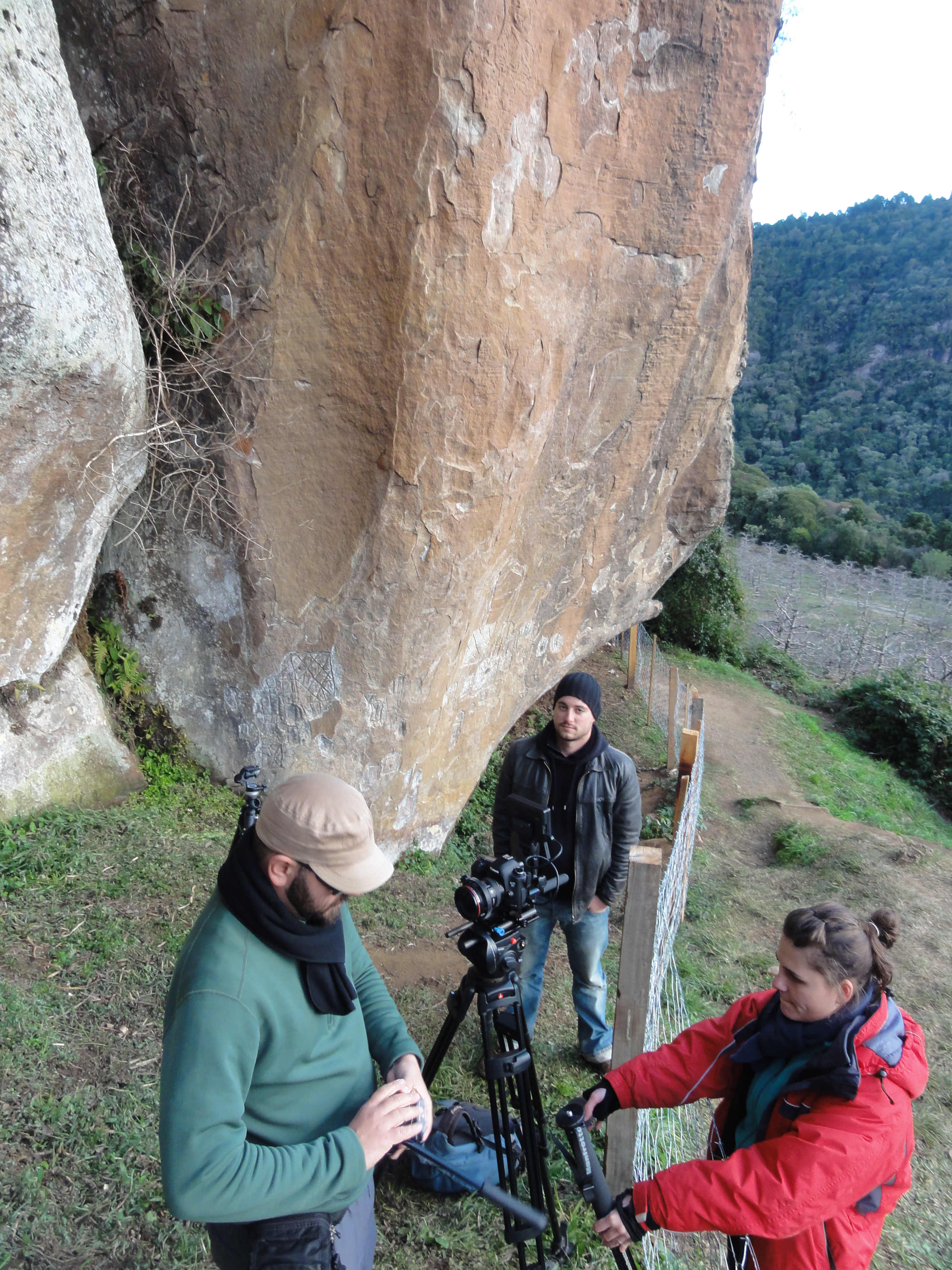
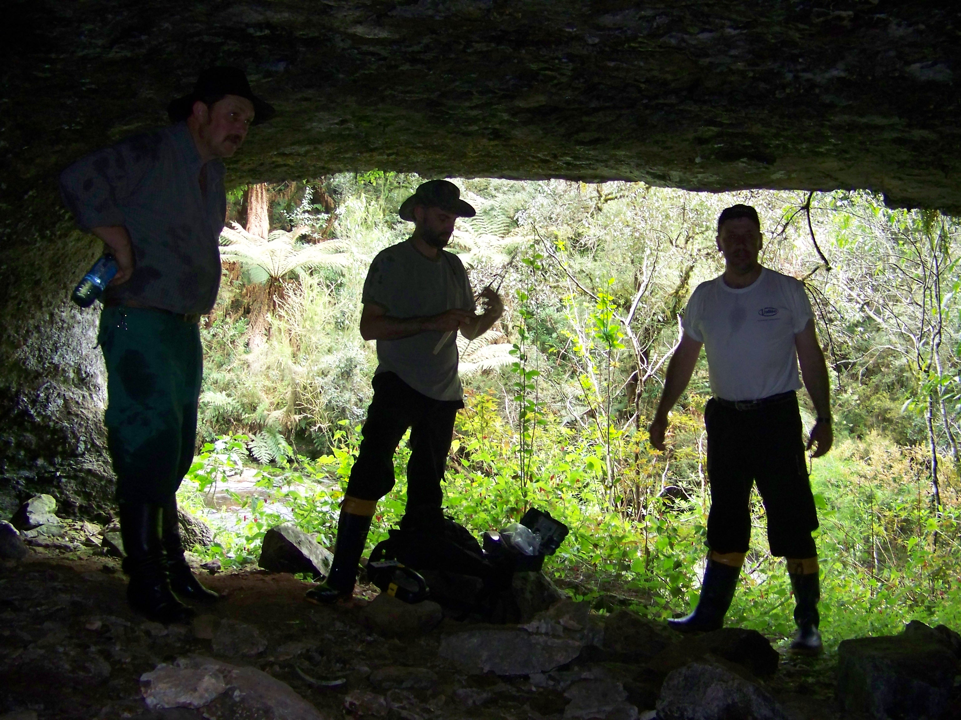
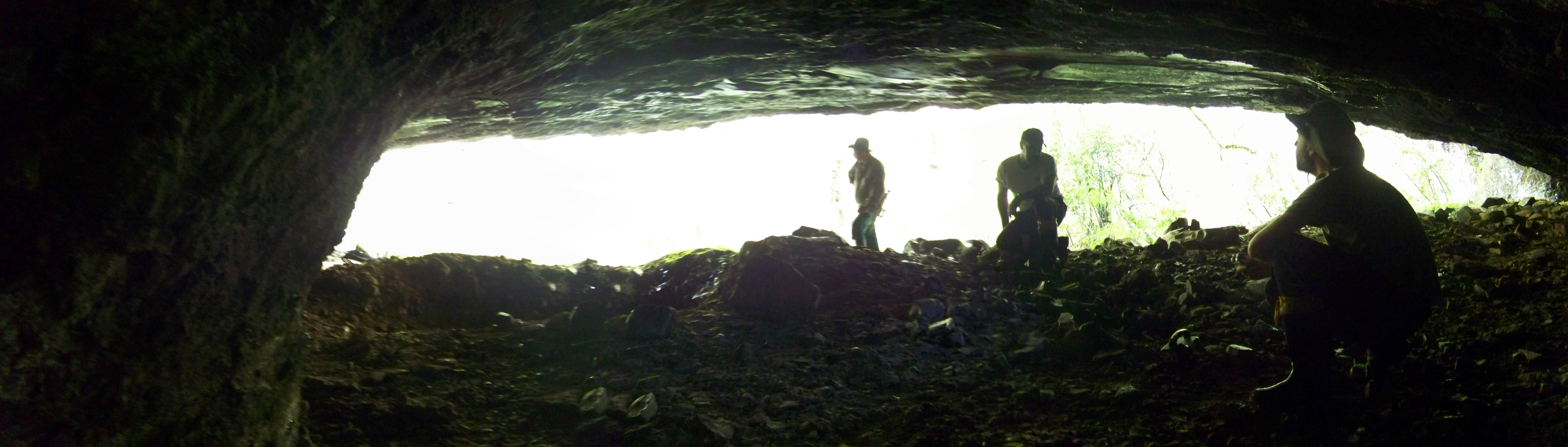
Archaeological sites in the Urubici region can be classified into four different site types: earthworks, open-air sites, petroglyphs and cave/rock shelter sites. The majority of the sites are located in the Canoas River valley, often close to the confluence of the river and its various tributaries. The preferred location for habitation sites appears to be in the valley floor which is characterised by more fertile soils and flatter topography than the uplands. Radiocarbon dates from these sites document occupation of the Urubici region by proto-Jê people from AD 300 to the colonial period around AD 1700.
Beyond that, starch grain and phytoliths analysis from charred food remains founded in pottery, collected at Bonin pit-house village excavation, achieved significant new data for new interpretive ways on Taquara-Itararé archaeology, bringing to us food production evidences of maize (Zea mays), squash (Cucurbita sp.), manioc (Manihot esculenta), and food consumption of beans (Phaseolus sp.) and possibly yam (cf. Dioscorea sp.), what is a key to think another kind of social organization, mobility and economy for southern proto-Jê people (Corteletti et al., 2014).
Publications
Corteletti, R.; Dickau, R.; DeBlasis, P.; Iriarte, J. 2015. Revisiting the economy and mobility of southern proto-Jê (Taquara-Itararé) groups in the southern Brazilian highlands: starch grain and phytoliths analyses from the Bonin site, Urubici, Brazil. Journal of Archaeological Science, v. 58, p. 46-61, 2015. (doi:10.1016/j.jas.2015.03.017)
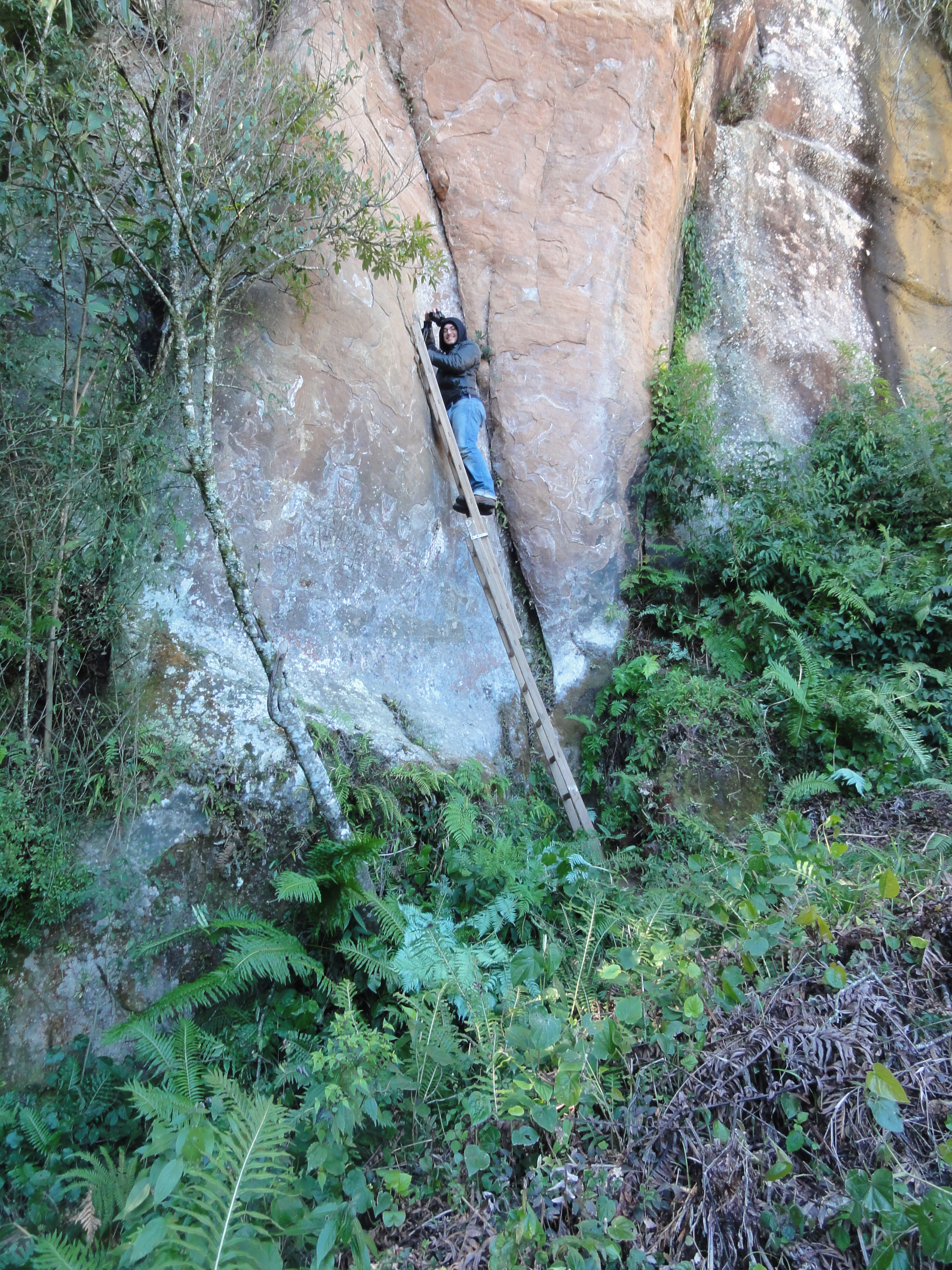
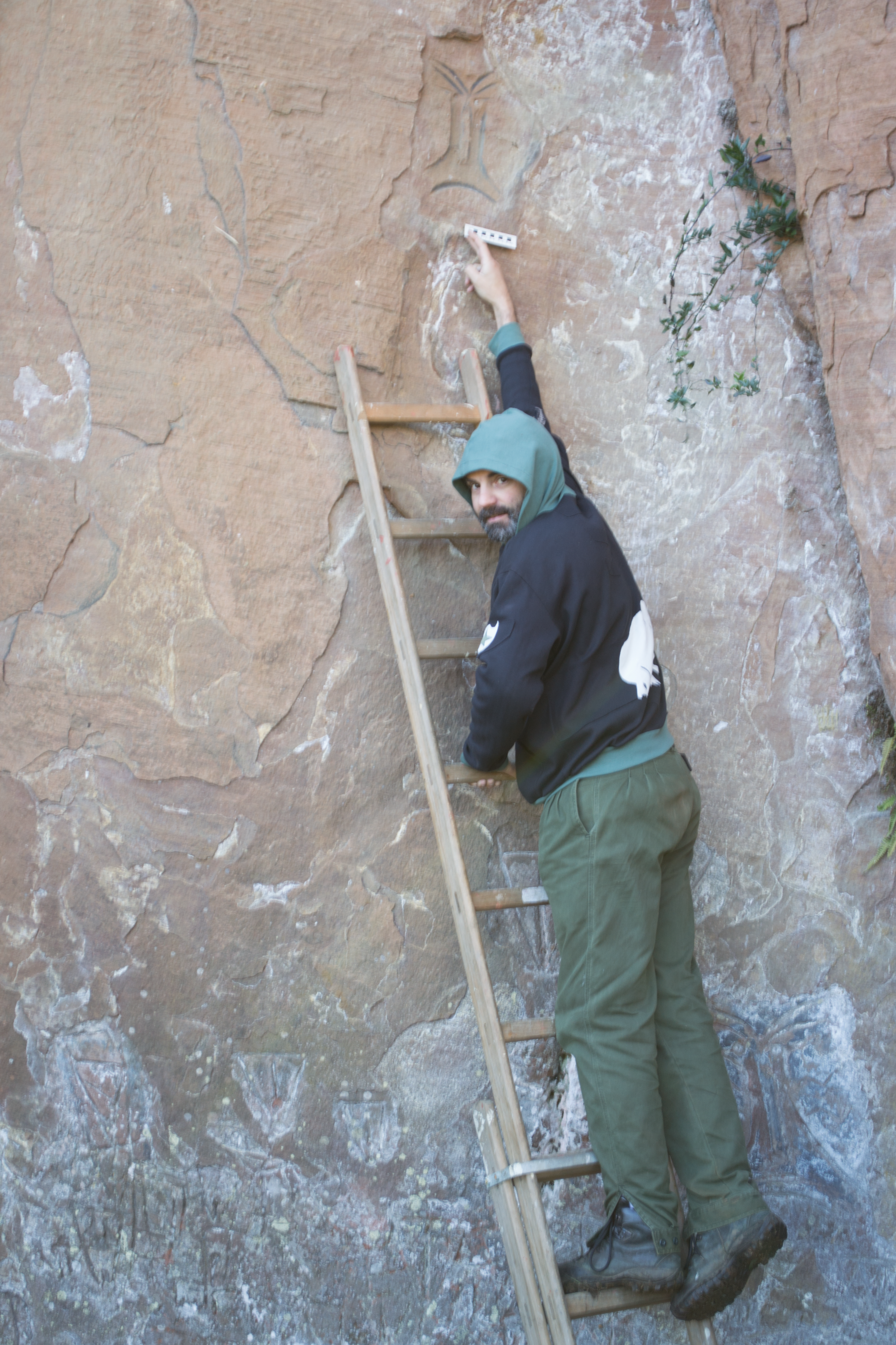
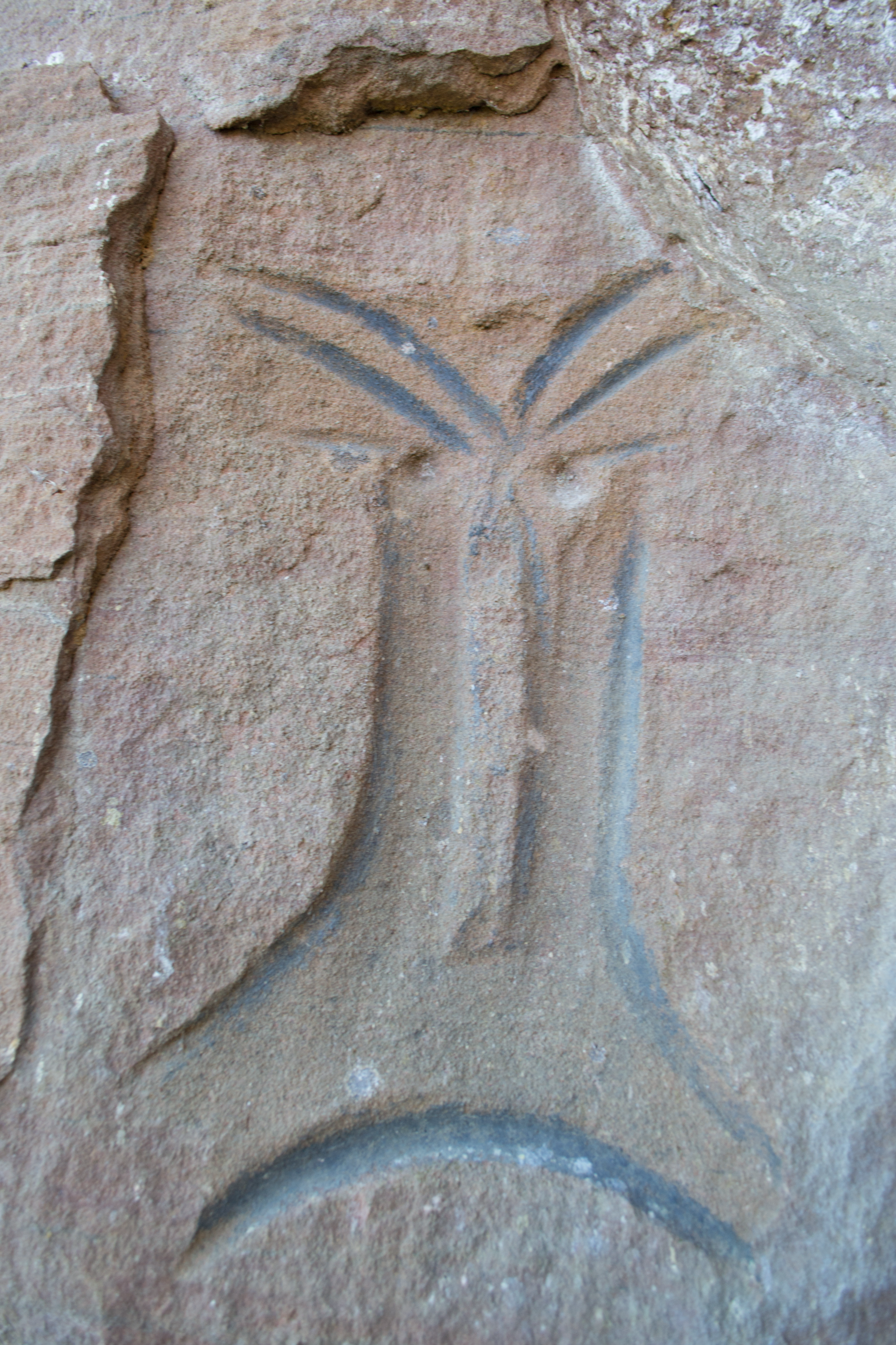
Riris, P. & Corteletti, R. 2015. A new record of pre-Columbian engravings in Urubici (SC), Brazil using polynomial texture mapping. Internet Archaeology 38. (http://dx.doi.org/10.11141/ ia.38.7).
Corteletti, R. 2013. Uma Estratigrafia da Paisagem Proto-Jê Meridional: Um Estudo de Caso em Urubici, SC. Tempos Acadêmicos, v. 11, p. 97-116.
Corteletti, R. 2012. Atividades de campo e contextualização do Projeto Arqueológico Alto Canoas ? PARACA; Um Estudo da Presença Proto-Jê no Planalto Catarinense. Cadernos do LEPAARQ (UFPEL), v. 7, p. 121-157.